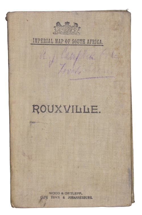
Imperial Map of South Africa: Rouxville.
Cape Town & Johannesburg.
Wood & Ortlepp, 1900.
First edition.
Dimensions, unfolded: 620 x 490 mm, folded in cover: 110 x 179 mm.
Colour lithograph map. Scale 1:250 000. Linen backed. Original publisher's buff printed cloth. Lightly rubbed and marked, faded ownership inscriptions to covers.
The fourth known copy of a map, compiled for Field Intelligence Department, Cape Town, detailing the region of Rouxville, South Africa, showing farm boundaries and fences, farm names, divisional boundaries, roads, rivers, telegraph lines and railways.
OCLC records copies at only three locations (Cape Town, Stellenbosch, and Wellington).
£ 125.00
Antiquates Ref: 29039
OCLC records copies at only three locations (Cape Town, Stellenbosch, and Wellington).